IMPORTANT As of July 2009 I no longer live in Central Texas, so I am not sure of two things, whether I can instigate any kind of Central Texas MTBR's road trip and whether I can attend at all. However, it does not escape me that some other people may want to use this page as a reference for, maybe, planning their own road trip.
Have no fear though, if I can get out there I will. Intent is there. Let's see what happens with money and such.
The remainder of this page is information about the 2009 expedition, until I revise it that is.
Your remote pain in the butt is Bear (as in Bear on www.bikemojo.com and forums.mtbr.com).
Your AZSF instigators are ArizonaEpicRiderAndRunner and CactusJoe.
The official information sources are the AZSF Facebook Group, the AZSF Wordpress Blog, and the Arizona MTBR Forum where lots of random questions are posted and answered.
Please keep in mind this is a completely grass-roots volunteer thing. I for example am involved only because I'm obsessing about going back one more time AND I think other people would really enjoy the experience.
If you have not ridden in Arizon before, or want lots more local-info links to AZ trails and riding, go read this AZ Forum thread!!!!
If you want to be on this list, and aren't, contact Bear. I am listing town of origin so that people can figure out driving/ride-sharing arrangements more easily.
| Bear | Confirmed | Jory | Confirmed | |
| sugarNspice | Confirmed | flbikerman | Confirmed | |
| Bizarro | Confirmed | Jory's Friend | Confirmed | |
| gjd | Confirmed | Bomber | Confirmed | |
Confirmed = Defniitely going unless catastrophe stops me; Solid Maybe = Almost definitely going, but still working out some details; Maybe = Very interested but just can't commit; Weak Maybe = Problems with Commitment.
To prevent from "losing your trip" in case one of your co-vehicle-occupants has to pull out at a last minute, it is advisable to plan on the full one-per budget (details follow) and think of it as happiness when everybody goes as planned.
Sometime about the 1st week of March we should probably figure out which vehicles are going, and that kind of stuff.
| Date | Activity |
| Wed Mar 18th | Depart Austin oh-dawg-early, drive like bat from hell, get to Tucson for 6pm night-ride (all levels) at Starr Pass or 50-Year trail. Group eats and drinks in town somewhere that parking is inconvenient with lots of bikes, then to Chad's place to crash for the night. |
| Thur Mar 19th | Up at a reasonable time, ride start is probably 10am. Long-ish group rides, B+/A level at Mt Lemmon (La Milagrosa!), all levels at 50 Year trail. Post ride group eats and drinks afterwards. Drive to Phoenix area lastly to crash for the night, makes getting up in the morning for rides easier for those shooting for 9am rides (Bear). |
| Fri Mar 20th | Again, probably up at reasonable time. Most rides probably start at 10am. All levels rides are expected on various parts of South Mountain (SoMo). Everything from C/C to A/A and a variety in between. I'm working on having a nearby point to mooch showers and pool/hot-tub time post-ride if wherever I am staying doesn't have that. Fling Party 5-10pm this night. Possible relocation to Sedona or Prescott to camp for the night, possibly not. Takes about 90-120 minutes to get from Phoenix to Sedona/Prescott, and the Sunday ridesa are Phoenix area. |
| Sat Mar 21th | Not many details available yet, but the primary rides are schedule for either Sedona or Prescott. Post-ride beer-n-pizza party looks to be contributed by Bike-n-Bean (a bike shop) in Sedona. |
| Sun Mar 22nd | Final rides, expect 10am starts, 2pm-ish finishes. Mellow rides at Black Canyon and Hawes and maybe others. Less mellow rides at White Tanks (Goat Camp ... Goat Camp ... Goat Camp ...). If possible, after post-ride eats and cleanups, hit the road and start motoring eastward back to Austin. Figure stopping overnight at either Franklin Mtn St Park outside El Paso <or> San Angelo St Park <or> Balmorrea St Park - depends how early we get out of Phoenix and how fast we're flying. |
| Mon Mar 23rd | Possible morning ride to polish things off (if at appropriate place, I'd like it but it's not required unless we're at San Angelo), or not, and then finish the drive home. |
This estimate includes fuel and food. This does not include lodgings or extras.
| 1-per | 2-per | 3-per | 4-per |
| $456.00 | $328.00 | $285.33 | $264.00 |
Bike (with good solid tires, no thin sidewalls please, flat-resistant suggested - tubeless with spooge or tubes with Slime), helmet, hydration (100oz or more), first aid kit (with comb and/or pliers to deal with cactus needles), sunscreen (use daily), spare inner tubes, layers (it will stll be March and places like Sedona, or the top of Mt. Lemmon, can be pretty cold at early parts of the day). For more info go to the AZSF Blog.
Your health insurance card, ID, & ICE (in case of emergency) information should be carried with you at all times!
To give you a feel of what to expect for drive-time and mileage to be covered.
| Activity | Mileage | ETA | Remarks |
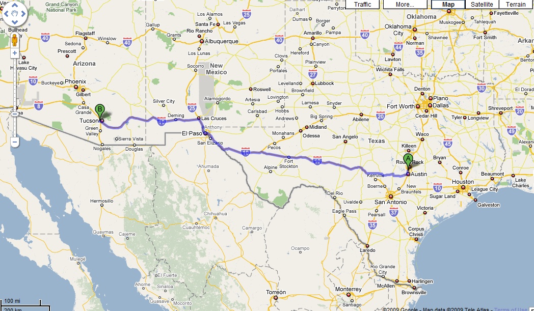
| Austin to Tucson | 911 | 14h 52m | * direct, non-stop, to Starr Pass or 5-Year trail, for night ride. San Antonio to Tucson estimated at 861 miles (from Loop 1604 and I-10) |
| Tucson to Phoenix | 95 | 1h 23m | |
| Phoenix to Sedona | 124 | 1h 49m | * done twice, once in either direction, if you're counting mileage up. |
| Phoenix to Austin | 1006 | 14h 17m | * direct, non-stop |
| Random Driving | 300 | n/a | * general about-town stuff coverage, probably over-estimated. |
| total | 2560 | ||
To give you an idea of what gas is expected to bring, in pain. Four levels of vehicle occupancy are shown, crossed by three levels of fuel cost. The mid-cost level is used as the basis for the total trip cost estimate at the top of this page.
| Fuel Economy (est mpg) | 20 | |||
| Consumption (est gals) | 128 | |||
| Fuel price (per gal) | $1.60 | $2.00 | $2.50 | |
| Est. total fuel cost | $204.80 | $256.00 | $320.00 | |
| two-per | $102.40 | $128.00 | $160.00 | |
| three-per | $68.27 | $85.33 | $106.67 | |
| four-per | $51.20 | $64.00 | $80.00 | |
Plan on four "dinners", two or three "heavy" post ride meals in them. I assume 25/ea for dinner.
I plan to have ride-food that I take with me from Austin (clif bars, whatever), supplanting maybe with a grocery run.
That leaves two lunches (on the road, while driving), I assume 15 or less for lunch, Subway or something like that.
Breakfast I plan on taking with me (mostly cereal and oatmeal), you egg lovers are easier to please but I can't partake (basically allergic).
Add 30 or so for "extras" - BYOM/whatever for party nights, whatnot, etc.
For myself, personally, I need to insure decent amount of protein intake for dinner if I'm going to ride big the following day, so for example after or at the Sat Sedona Beer-n-Pizza at Bike-n-Bean I may still need to eat something else to cover this base. You never know with group pizza.
| Breakfast | Lunch | Dinner | Extras | Total |
| $30 | $30 | $100 | $40 | $200 |
The reasoning on my guesswork looks like this...
| W-18th | T-19th | F-20th | S-21st | S-22nd | M-23rd | Legend | |
| Activity | Dr/Rd | Rd/Relo | Rd/Party | Rd/Party | Rd/Dr | Rd?/Dr | Dr = Drive, Rd = Ride,on-ride = eat during ride, self = up to self, grp = group meal, otr = on the road |
| Breakfast | self | self | self | self | self | self | |
| Lunch | otr | on-ride | on-ride | on-ride | on-ride | otr | |
| Dinner | grp | grp | party | party | grp | grp |
You should plan on being self-sufficient for breakfast, and not hitting anyplace "on the way to the trail."
If you end up staying with a local there tends to be lots of sharing and hospitality going on.
Hitting grocery store in AZ for stuff (in the evening) to accommodate mornings is smart.
Lunches are assumed to be "on the trail" and again you should plan to be self sufficient. Plan on longer rides being in the 4-6 hour duration.
Assume post-ride group eats will happen.
The big "Fling" party is planned for Friday after SoMo rides. These are BYOM (usually locals man the grill), bringing stuff to share is nice.
Bike and Bean in Sedona has apparently repated their Beer n Pizza support for post-ride "Party" for Saturday.
For the most part you are on your own for finding lodging. I am trying to figure out where people will be camping, in case there's enough people going up from TX and interest. There is VERY PROBABLY camping going on Friday night, up in Sedona, as ArizonaEpicRiderAndRunner is probably leading a 9:30am long-ride in Sedona on Saturday and I just don't see him driving up from Tucson to do it.
Often, people chiming in on the Arizona MTBR Forum saying "Hey, I'm coming to Fling and would anyone have some crash space?" will find people willing to share space. Going directly to the forum to arrange lodgings is suggested if you do not intend to use a motel/hotel.
If you really decide to do it yourself, camping any legit place within reasonable driving distance of the ride locations is copasetic. Where are the ride locations? That comes later...
Since it's developing into a more than one car group, I'm doing some research into campgrounds and other accomodations so we can find good space, soonish.
I've done some quick checks with Travelocity and Orbitz, and prices for hotels come in STARTING at about $50 a night for 2 occupancy, and that's not anywhere near SoMo (or centrally located). There may be places of that cost factor (Motel 8?) further north out of town. It's not difficult to get around Phoenix, as long as it is not rush hour, so people interested in that may want to do some checking further.
I found these directly referenced on MTBR Forums, or somewhere else, as good places to stay. I make no personal claims of them.
Local/State/National Park coverage, with camping (which has showers...) appears to be somewhat limited, but there are some. Tuscon has Catalina State Park. Phoenix does not appear to have any state parks nearby, but a small number of regional parks (White Tank, Usuery, etc.) that feature camping and hot showers. Sedona seems wierd, I guess the art galleries took over, but nearbly Dead Horse Ranch State Park seems like a pretty nice place. Camping fees seem to come in about 20/night but it is not clear to me if that is per-site, per-car, or per-person. I am guess that is per-car though.
If you are open to raw/primitive camping there are a lot more options in various areas. For example, there's a number of camping areas on Mt. Lemmon near Tucson. Not too many too close to Phoenix, but some. Lots in the national forest area up near Prescott and Sedona.
I am working on assembling information on the various parks and such, I'll be updating this page as I go.
| Tucson | |||||||||||
| Catalina State Park | |||||||||||
| 20m N. of Tucson | |||||||||||
| Phoenix / Mesa / Tempe / Scottsdale | |||||||||||
| Grace Inn (review) | Lake Pleasant Regional Park | Usery Mtn Regional Park | White Tank Regional Park | ||||||||
| adjacent to South Mountain | North Phoenix off Hwy 17 | East Phoenix near Hawes TH | West Phoenix, Goat Camp TH! | ||||||||
| N33.86437 W112.31774 | N33.46693 W111.63023 | N33.56606 W112.49609 | |||||||||
| Black Canyon / Sedona / Prescott | |||||||||||
| River's Edge RV Park | Dead Horse Ranch State Park | ||||||||||
| Halfway between Phoenix/Sedona | N34.75308 W112.02211 | ||||||||||
A few years ago, DurtGurl (AZ local, and former Fling organizer) had this to say about the ride categories...
| A | Advanced rides will be both physically and technically demanding. If you're not at the top of your game, we strongly recommend joining an intermediate ride. If you ARE at the top of your game and long for the challenge, consider joining these advanced rides. |
| B | Intermediate rides. Will be a good mix of climbing and descending, will be at a moderate pace, but will still social. |
| C | Easy rides. Relaxed pace, short distances, no lung-busting climbs and no dangerous descents. The pace will be friendly, the emphasis on enjoying the scenery and riding your bike in a non-competitive environment. |
Addendum: They often use + and - modifiers. One of the local Bikemojo no-drop four-hour group Barton Creek Greenbelt rides (like on the weekend of 1-18-09) would be categorized a B technical ride with B+ pieces and a B aerobic difficulty. If you go to an "A" ride you really need to bring your "A" game.
Please go to the AZSF Blog for more information, and check the Arizona Forum for late-breaking information. It's worth checking the forum in the afternoon/evenings the day before Fling days to see any late-breaking information. Last year some highway construction got in the way of people migrating from Phoenix to Sedona for the Saturday rides and new Phoenix-area rides were setup, in addition to guidance on how to get around the construction for people still wanting to hit Sedona.
| Wed 18th | |
| There may be no rides for Texans today as it's a long drive day. Bear would like it though, and it's gerat to shake off a long drive with some casual riding. Bear intends to go-big on Thursday so shaking of the road on Wed evening is nice. | |
| 9:00am (B) Phoenix - Hawes, 2-3 hours | |
| 6:00pm (B) Tucson - Starr Pass, 2 hours, lights required | |
| ?? (C-B) Tucson - 50-Year Trail | |
| 8:00pm (x) Tucson - Post Ride Grub at Bison Witches Bar and Deli |
| Thu 19th | Fri 20th | Sat 21st | Sun 22nd | |
| 9:00am (A) Tucson - Milagrosa, 15+ miles, 5+ hours | 9:30am (A) Phoenix - South Mountain - Coast 2 Coast 2 Coast, 25+ miles, 5+ hours | 9:00am (A or B) Sedona - Start at Oak Creek/Bell Rock TH, hit a big loop until people are tired or want beer, 20+ miles, 5+ hours | 9:00am (B-C) Phoenix - Black Canyon Trail (BCT), BCT Trailhead | |
| 10:00am (B) Tucson - AZ Trail from Vail, 24miles, 4+ hours (?) | 9:30am (B) Phoenix - South Mountain - Pima Canyon up Mormon Loop to National to Buena Vista and down Mormon. "Intended for those who want an introduction to SoMo without puking...", 10+ miles, 3-5 hours | 9:30am (B) Sedona - South Bell Rock TH across from Bike-n-Bean | 10:00am (C) Phoenix - Black Canyon Trail (BCT), Little Pan Loop | |
| ?? (B) Tucson - 50-Year Trail from Golder Ranch | 8:30am (B+) Phoenix - South Mountain - Desert Classic to Pima Canyon up National to Buena Vista and beyond, back up and over Corona Loma, down to the Secret Trails to Desert Classic and back, 19+ miles, 4-6 hours | 9:30am(?) (C) Sedona - Bell Rock Th | ??:??am (A or B) Phoenix - White Tanks - Goat Camp, this will be a very technical ride | |
| 4:00pm (C) Tucson - Sweetwater afternoon ride, 6-ish miles, 1-2 hours | 9:00am (C) Phoenix - South Mountain - Pima Canyon up ? and down ? or just around ? | ?:??am (?) Prescott - ? | ||
| 7:00pm (C) Tucson - Bars on Bikes, starting at Rincon Market (6th and Tucson Blvd) |
This section is not yet complete, so check in for more info over time.
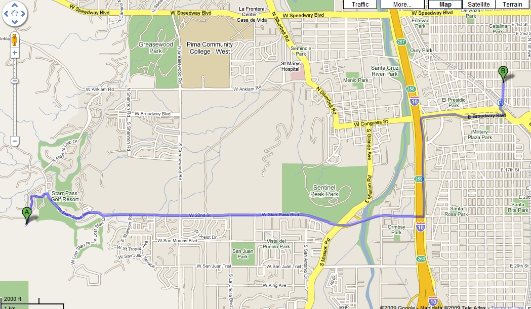
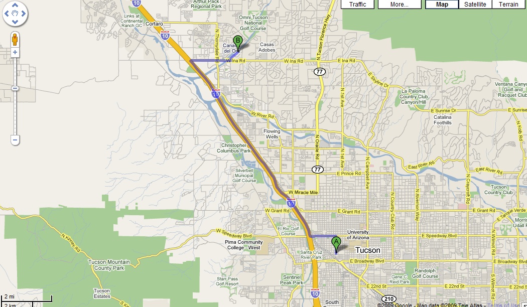
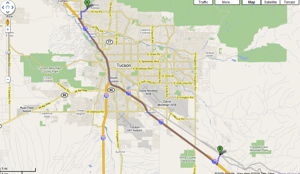
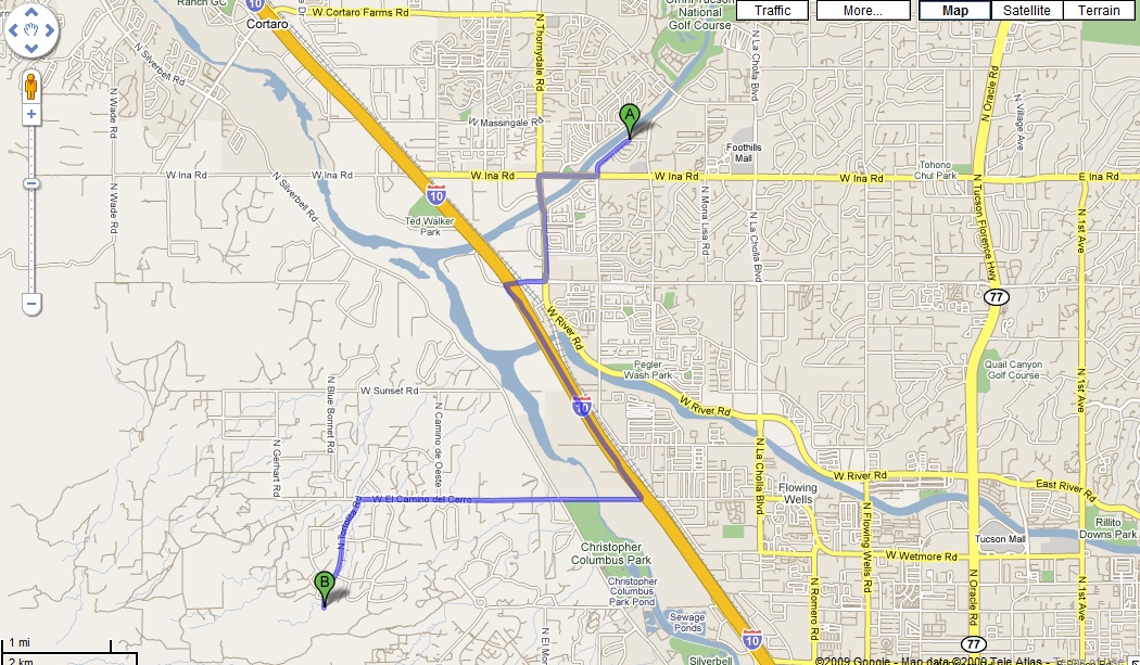
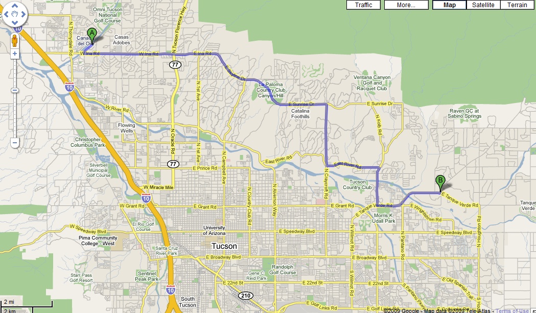
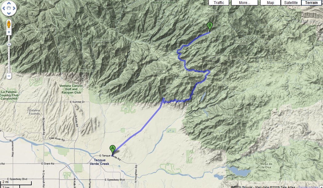
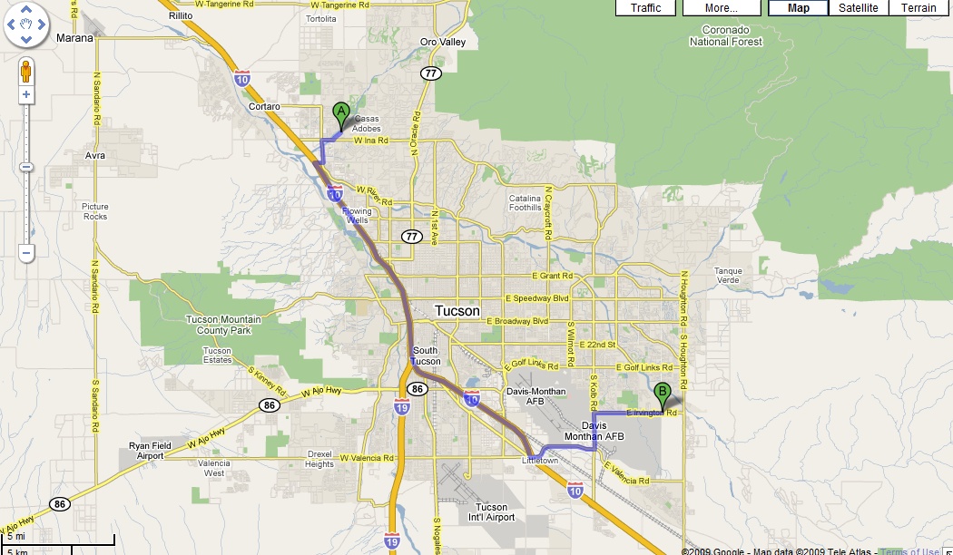
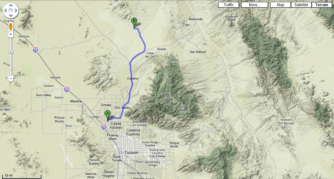
Click the image for a larger overview, click the Google Icon ( ![]() ) for a Google Map pullup.
) for a Google Map pullup.
|
|
|
|
|
|
|
|
|

|
|
|
|
|
| Meet for AZ Trail-Vail | Bars on Bikes! | |
|
|

|
|
|
|
|
| Meet for La Milagrosa | Start of ride for La Milagrosa | End of ride for La Milagrosa |

|
|
|
|
|
|
|
| 50 Year/Golder Ranch Meet Point | One of the more chill Tucson rides | 24 Hours of Old Peublo race venue |
Just pop these into Google Maps, Google Earth, or your favorite GPS software (make sure to set your units to decimal-degrees!) and away you go.
| Tuscon Area Trails | and Business | |||||||||
| Starr Pass TH | N32.20561 W111.04651 | 50 Year Trails | N32.47485 W110.89229 | Le Buzz Coffee Shop | N32.25829 W110.79877 | |||||
| Sweetwater TH | N32.27972 W111.08113 | Fantasy Island TH | N32.16286 W110.78974 | Montgomery's Grill | N32.04660 W110.71313 | |||||
| Bug Springs TH | N32.37425 W110.69034 | Old Pueblo TH | N32.69230 W110.91360 | Rincon Market | N32.22788 W110.93522 | |||||
| Gordon Hirabyashi TH | N32.33624 W110.71989 | where | geoloc | Bison Witches | N32.22552 W110.96552 | |||||
| Molino Basin TH | N32.33706 W110.69283 | where | geoloc | where | geoloc | |||||
| La Milagrosa Trail | N32.29814 W110.73078 | where | geoloc | where | geoloc | |||||
| Phoenix Area Trails | and Business | |||||||||
| SoMo Pima TH | N33.36296 W111.98529 | SoMo Corona Loma | N33.34198 W112.04619 | Cactus Bikes | N33.34853 W111.98116 | |||||
| SoMo N Entrance | N33.35145 W112.07810 | SoMo El Viejo | N33.34297 W112.03887 | Walgreens (Hawes) | N33.48135 W111.68520 | |||||
| SoMo Buena Vista TH | N33.34289 W112.04425 | Hawes/Red Mountain TH | N33.48094 W111.68326 | where | geoloc | |||||
| SoMo Telegraph Pass | N33.32968 W112.07372 | Pima/Dynamite | N33.74125 W111.89116 | where | geoloc | |||||
| SoMo Mormon/Natl | N33.36119 W112.00488 | Goat Camp (P1) | N33.56522 W112.50273 | where | geoloc | |||||
| SoMo Mormon 24th | N33.36454 W112.03258 | Goat Camp (P2) | N33.58766 W112.50365 | where | geoloc | |||||
| SoMo Geronimo! | N33.34572 W112.04547 | BCT:Black Canyon City TH | N34.05314 W112.15190 | where | geoloc | |||||
| SoMo Ridgeline | N33.36292 W112.00638 | BCT:Table Mesa TH | N33.98446 W112.16809 | where | geoloc | |||||
| Sedona/Prescott Area Trails | and Business | |||||||||
| what | geoloc | what | geoloc | Dead Horse Ranch SP | N34.75308 W112.02211 | |||||